Managing water scarcity in European and Chinese cropping systems

Author: Shannon de Roos, PhD student at KU Leuven

Agricultural productivity has vastly increased over recent decades as agricultural technologies have improved. However, future challenges such as population growth, land degradation and climate change mean that agricultural systems will have to keep adapting. Assessing the impacts of these global issues requires larger-scale perspectives rather than measurements within individual farmer’s fields.  Work Package 3 (WP3) of the SHui project therefore assesses crop development over a regional to continental domain at a relatively high resolution (~1km). Thanks to the increasing availability of high resolution spatial data and enhanced computer systems, new possibilities in agricultural research can be explored at various scales.

During my Earth Science (BSc) and Physical Geography (MSc) degrees, I learned about surface and subsurface hydrological processes, land degradation, and how to work with various software and models. I have also done fieldwork in various countries and worked with other researchers, farmers, environmental agencies and meteorologists. My PhD research within SHui allows me to combine all these experiences and apply them to a more technical field of Geosciences. It has been a challenging but rewarding trajectory, with a very steep learning curve.

My research consists of two main parts. Initially, I developed and evaluated a spatially-distributed version of the field-scale AquaCrop model version 6.1. This regional version wraps AquaCrop in a parallel processing system, to make it run efficiently for any given resolution and domain. Various satellite products were used to evaluate biomass and surface soil moisture, with the findings recently submitted to the peer-reviewed journal Geoscientific Model Development. 


Currently, I am applying satellite-based data assimilation to the AquaCrop model to improve the model simulations. For this, I use the Water Cloud Model to translate AquaCrop soil moisture and vegetation output into backscatter values, which are measured by active microwave satellites such as Sentinel-1. I will present preliminary findings at the IGARSS conference in Brussels in July. I am excited to work on this new topic, with the support of a research team that has much experience in Data Assimilation.

My overall aim is to build a robust and reliable spatially distributed version of AquaCrop, which can be applied to any region and for any crop type. I hope this spatial version of the model will provide more insight into regional changes of biomass production and soil moisture trends over time.

I’ve recently launched a new research webpage (https://ees.kuleuven.be/project/shui-regionalaquacrop) and gave a 2-minute virtual PICO presentation at EGU 2021 conference (see poster in Fig.1.). I consider myself lucky that COVID hasn’t affected my research, but I do look forward to the first conference that will be live again.

Figure 1. vPICO slide presented at EGU 2021 on 30-04-2021

Author: Tailin Li, PhD student at Czech Technical University in Prague

The Czech agricultural landscape is not only fascinating for photographers, but also interesting for hydrologists to observe the hydrological processes such as runoff generation, soil erosion in the cultivated fields. Thus, an experimental catchment has been established at the Czech village Nučice monitor the hydrological processes since 2011. When I saw the view in Nučice for the first time, I was amazed by the large parcel of crops, and the long wheel tracks within the beautiful landscape.

Figure 1. The view of the Czech agricultural landscape

During my work in the SHUI project, I had many opportunities to work in the field, which has gradually drawn my interests in the runoff generation mechanism and the runoff connectivity on the cultivated soils. As a PhD student at Czech Technical University in Prague, my research topic is related to the spatio-temporal variability of soil moisture in agricultural catchments. To identify spatio-temporal patterns in the catchment, we have implemented shallow soil moisture measurements at point-scale, hillslope-scale, and field-scale. We have deployed FDR (frequency domain reflectometry) sensors at different depths for point-scale measurements. The monitoring of topsoil water content at hillslope-scale and field-scale has been mostly accomplished by field surveys with HydroSense II sensors. Although the landscape is homogenous under the regular farming activities, the spatial variability of soil water content has been observed during the field surveys. Besides, we also deployed two COSMIC-ray sensors at the catchment to observe the dynamic of soil water content at field-scale.

Figure 2. Soil moisture measurements (HydroSense II, CS650 and cosmic-ray sensor)

To make our research be accessible for public, an open source web-based WALNUD dataset (Water in Agricultural Landscape – NUčice Database) has been established online for public use. The datasets consist of observed variables such as measured precipitation, air temperature, stream discharge, and soil moisture. The cross-seasonal, open access datasets at this small-scale agricultural catchment will benefit not only hydrologists but also local farmers. To promote the open dataset, we published a datanote on the journal Hydrological Processes. Also, I attended the CUAHSI seminar to give a brief introduction of our experimental catchment.

Figure 3. Field surveys of monitoring soil moisture

I grew up in the south part of China, the agricultural landscape in the southern China is quite different from where I am working now. The SHUI project has bridged the researches from multiple disciplines across EU and China, which has broadened my horizons about the different agricultural practices and water managements. Facing the challenges of climate change and water scarcity, I would like to gain more knowledge of water and soil management to contribute to our common future.

Further reading:

Li, T.; Jeřábek, J; Noreika, N.; Dostál, T.; Zumr, D. (2021): An overview of hydrometeorological datasets from a small agricultural catchment (Nučice) in the Czech Republic. In: Hydrological Processes. DOI: 10.1002/hyp.14042.

Noreika, N.; Li, T.; Zumr, D.; Krása, J.; Dostál, T.; Srinivasan, R. (2020): Farm-scale biofuel crop adoption and its effects on in-basin water balance. SUSTAINABILITY. 2020, 12(24), ISSN 2071-1050. DOI 10.3390/su122410596.

Jeřábek, J., Zumr, D., & Dostál, T. (2017). Identifying the plough pan position on cultivated soils by measurements of electrical resistivity and penetration resistance. Soil and Tillage Research, 174, 231–240. https://doi.org/10.1016/j.still.2017.07.008

Zumr, David; Dostál, Tomáš; Devátý, Jan (2015): Identification of prevailing storm runoff generation mechanisms in an intensively cultivated catchment. In: Journal of Hydrology and Hydromechanics 63 (3), S. 246–254. DOI: 10.1515/johh-2015-0022.

Zumr, David; Dostál, Tomáš; Devátý, Jan; Valenta, Petr; Rosendorf, Pavel; Eder, Alexander; Strauss, Peter (2017): Experimental determination of the flood wave transformation and the sediment resuspension in a small regulated stream in an agricultural catchment. In: Hydrol. Earth Syst. Sci. 21 (11), S. 5681–5691. DOI: 10.5194/hess-21-5681-2017.

Author: Nina E Noreika

Water – it is life’s most essential resource. We use it as recreation, to travel, to grow crops, to quench our own thirst. As such, water conservation is a multifaceted societal issue with expanding and diverse career opportunities. A career in water conservation can wear many different masks and is highly multidisciplinary.

I began my career in water conservation while studying for my master’s in Aquatic Resources at Texas State University (TSU) in Texas, USA. My research at TSU involved population estimates and community structure evaluations of endangered aquatic invertebrates in crenic habitats. In this role I travelled to western Texas frequently to collect samples that I later processed under a dissecting microscope. In total, I counted over 150,000 snails and amphipods. These species are endangered largely due to the over-pumping of groundwater for agricultural uses and oil exploration.

Studying these tiny invertebrates prompted me to consider the larger issues at play: responsible, sustainable water and landscape management. I knew that I wanted the next step of my education to focus on water conservation, which lead me to Czech Technical University (CTU) in Prague.

Since beginning my PhD studies at CTU, I have been involved in many departmental projects and have also had the opportunity to develop my own research questions and thesis topic. I have participated in field experiments that study the effects of varied crop and soil treatments on runoff processes using an outdoor rainfall simulator as well as catchment-scale topsoil water content surveys.

Figure 1. Phantom Lake Spring near Balmorhea, Texas, USA
Figure 2. Tryonia cheatumi, an endangered aquatic snail species found in springs of western Texas, USA.
Figure 3. Rainfall simulation experimental setup on an agricultural plot near Řisuty, Czech Republic.


My thesis topic is titled “modeling hydrological impacts of management practices in rural catchments using SWAT.” SWAT, or the Soil and Water Assessment Tool, is a semi-physically based, semi-distributed, basin-scale hydrologic model. It’s primarily used to model agricultural catchments and has been applied all around the world. A goal of my PhD work is to apply the SWAT model to two catchments in the Czech Republic.

Figure 4. Conducting a topsoil water content survey at the Nučice experimental basin near Prusice, Czech Republic. Photo credit: Tailin Li.
Figure 5. A map of the Czech Republic with Prague highlighted, as well as my two study basins, Nučice and Vrchlice.


I am most interested in the application of agricultural conservation practices in the Czech landscape and how the adoption of such practices will affect the small water cycle. The Czech landscape is still recovering from agricultural intensification that occurred during the Communist era, which included increasing field sizes, widespread subsurface tile drainage systems (so that soils drain faster than they would naturally), and concrete-lined and straightened streams. In the small water cycle: water should infiltrate the soil where it falls as rain, surface runoff should be minimized, natural drainage patterns should be restored, and the water holding capacity of soils should be increased. Not only do agricultural conservation practices help to reinforce the small water cycle, but they also aim to build healthier agriculture soils and to reduce sediment and nutrient runoff into our freshwater systems. For example, contour farming reduces surface runoff by impounding water in small depressions and reduces soil loss by decreasing the erosive power of the surface runoff while crop residues increase infiltration and reduce surface runoff by decreasing surface sealing.

Figure 6. Representation of the small water cycle (Kravčik 2015)
Figure 7. Agricultural field near Řisuty, Czech Republic.
Figure 8. Field size discrepancies at the border of Austria and the Czech Republic. (Esri 2021)


In the field of water conservation, there are many professional trajectories that can be followed across the biological, physical, and political sciences. I am unsure exactly what my future career may look like, but so far, my career has included: sitting at a microscope for countless hours, SCUBA diving to collect water and invertebrate samples, conducting field experiments in the Czech countryside, and developing a hydrologic model that should (in theory) simulate the real thing.

Whatever the future may hold, one thing remains constant – the way we treat the water and land around us matters. If my research can help the conservation efforts of one little snail species or help one farmer make informed management decisions, I know I will have done my part.

1 The Robert H. Smith Institute of Plant Sciences and Genetics in Agriculture, The Robert H. Smith Faculty of   Agriculture, Food & Environment, The Hebrew University of Jerusalem, Rehovot 76100, Israel
2 Agricultural Engineering, Agricultural Research Organization—Volcani Institute, P.O. Box 15159, Rishon LeZion 7505101, Israel
3 Department of Chemical Engineering, Ariel University, Ariel 40700, Israel
4 Eastern R & D Center, Department of Agriculture and Oenology, Ariel 40700, Israel
5 TerraVision Lab, Midreshet Ben-Gurion 8499000, Israel
6 Independent Researcher, Variability, Ashalim 85512, Israel
7 Gilat Research Center, Soil, Water and Environmental Sciences, Agricultural Research Organization—Volcani Institute, Mobile Post Negev 2 85280, Israel
*Author to whom correspondence should be addressed.
Academic Editor: Simona Consoli
Remote Sens. 202113(9), 1636; https://doi.org/10.3390/rs13091636
Received: 21 March 2021 / Revised: 17 April 2021 / Accepted: 19 April 2021 / Published: 22 April 2021
Wine quality is the final outcome of the interactions within a vineyard between meteorological conditions, terrain and soil properties, plant physiology and numerous viticultural decisions, all of which are commonly summarized as the terroir effect. Associations between wine quality and a single soil or topographic factor are usually weak, but little information is available on the effect of terrain (elevation, aspect and slope) as a compound micro-terroir factor. We used the topographic wetness index (TWI) as a steady-state hydrologic and integrative measure to delineate management zones (MZs) within a vineyard and to study the interactions between vine vigor, water status and grape and wine quality. The study was conducted in a commercial 2.5-ha Vitis vinifera ‘Cabernet Sauvignon’ vineyard in Israel. Based on the TWI, the vineyard was divided into three MZs located along an elongate wadi that crosses the vineyard and bears water only in the rainy winter season. MZ1 was the most distant from the wadi and had low TWI values, MZ3 was closest to the wadi and had high TWI values. Remotely sensed crop water stress index (CWSI) was measured simultaneously with canopy cover (as determined by normalized difference vegetation index; NDVI) and with field measurements of midday stem water potential (Ψstem) and leaf area index (LAI) on several days during the growing seasons of 2017 and 2018. Vines in MZ1 had narrow trunk diameter and low LAI and canopy cover on most measurement days compared to the other two MZs. MZ1 vines also exhibited the highest water stress (highest CWSI and lowest Ψstem), lowest yield and highest wine quality. MZ3 vines showed higher LAI on most measurement days, lowest water deficit stress (Ψstem) during phenological stage I, highest yield and lowest wine quality. Yet, in stage III, MZ3 vines exhibited a similar water deficit stress (CWSI and Ψstem) as MZ2, suggesting that the relatively high vigor in MZ3 vines resulted in higher water deficit stress than expected towards the end of the season, possibly because of high water consumption over the course of the season. TWI and its classification into three MZs served as a reliable predictor for most of the attributes in the vineyard and for their dynamics within the season, and, thus, can be used as a key factor in delineation of MZs for irrigation. Yet, in-season remotely sensed monitoring is required to follow the vine dynamics to improve precision irrigation decisions. View Full-Text

Sustaining food production in the years ahead requires technically efficient management of natural resources and the surrounding environment. Different indicators have been suggested to measure the progress towards more efficient and productive agricultural systems. The yield gap (YG) is an important indicator in this context as it provides a benchmark for agricultural productivity. Yield gaps are defined as the difference between the potential (Yp) or water-limited yield (Yw) and the actual yield (Ya), in case of irrigated or rainfed cropping systems, respectively. Traditionally, these have been assessed with crop simulation models considering the most representative biophysical conditions and, to a lesser extent, crop management practices observed in farmers’ fields.

The extraordinary advances in computer engineering and programming languages, particularly over the last three decades, have intensified the modelling processes contributing to an increased adoption of such tools for many applications in agronomy. However, recent advances have not yet succeeded to scale up mechanisms from point to field level in crop models. In fact, while significant advances have been made in the engineering aspects of precision agriculture, such as increasing spatial resolution, variable rate technologies and automation, much less effort has been devoted to understand the crop mechanisms in response to spatial variations.

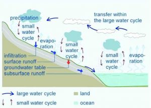
As considerable spatial variability in soil hydraulic properties exists within a field, even in those considered homogeneous, the accurate modelling of crop heterogeneity requires assessing the spatial variability of water as it affects crop behaviour. Essentially, if crop models are to be used to improve water management in precision agriculture, they may greatly benefit from spatial water modelling approaches capable of accurately represent and simulate within-field variation of water-related processes.

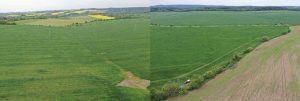
With the widespread advances in yield monitoring, and the suitable equilibrium between temporal and spatial resolution of freely available remote sensing data, there is potential to simulate spatial variations in crop performance with a fine-resolution for various crop types, and use it for management applications in precision agriculture. Yield mapping, which has been increasingly adopted by farmers in modern agriculture (mostly in cases of cereals or other important field crops), provides valuable spatial information on how crops perform in response to a certain gradient of Environmental (E) conditions and/or Management (M) practices. Within the same field, and for a particular growing season, the spatial variation of E (e.g., soil texture, soil water holding capacity and depth, pH and soil nutrient availability) and M (e.g., sowing rate and date, fertilization and crop protection) determine what can be understood as a ‘short-term’ phenotypic response (P) to variable conditions in combination with the grown genotype (G). When analyzing historical yield maps of uniformly managed fields, the GxExM interactions can be simply understood as direct responses of GxE interactions. Such interactions are not merely unidirectional, but reciprocal. The effect of GxE over P determines feedback mechanisms that do also affect the observed E gradient over a single field (e.g., increased vegetative vigor, as a function of higher water availability during crop growth stages, may enhance water stress during grain filling). The spatial variation of crop performance (P=GxE), when quantified in terms of grain yield, is in fact the result of multi-directional relations along the vector of interactions that links P to G and E for a single field and year. Precision agriculture depends on such theoretical considerations, as the first step towards site-specific management is the quantification of crop variations over space and time (Ya). Yield maps provide us one of the most pragmatic and technically oriented sorts of data to pursuit it.

Many of these challenges/opportunities are currently being addressed within SHui project by both the Institute for Sustainable Agriculture (IAS-CSIC) and the department of Agronomy of the University of Córdoba, in collaboration with other ‘working-package 2’ (WP2) members. In the Iberian peninsula for instance, where more than 2.4 M ha of winter cereals are rainfed grown every year, farmers have been collecting increasing amounts of data, which have great value to link crop simulation models with YG analysis to be conducted at spatially variable scales.

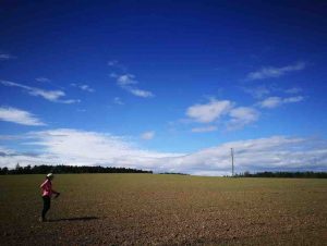
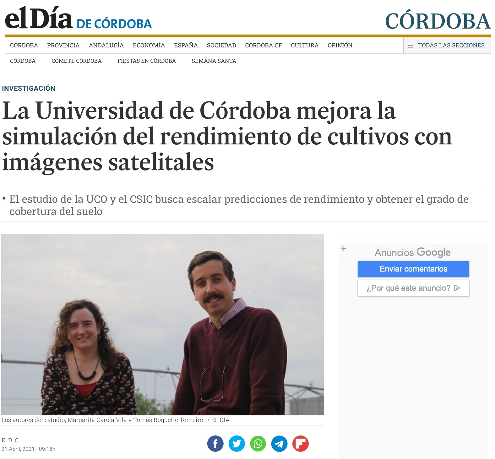
 My name is Tomás Roquette Tenreiro, I am an agronomist from Portugal. I have a degree in agronomy and agricultural engineering from the University of Lisbon, Portugal, and a master’s degree in crop science from the University of Wageningen, in the Netherlands. Currently, I am working as a predoctoral researcher in IAS-CSIC within Shui and I am also a young-farmer in the region of Alentejo, Portugal. Both as a researcher and a farmer, I find great value in applied research with the context of spatial heterogeneity assessment. Spatial heterogeneity is a reality in our conditions that enhances risks for both farmers and society. Risks of adopting ineffective measures, risks of dealing with non-representative data, risks of under/over-using resources, risks of unstable food supply, risks of economic losses and environmental damage. As a SHui researcher and a PhD candidate, most of my work is focused on closing the gaps between modelling tools and the main ‘spatial phenomena’ governing crop performance in local conditions. In this sense, I am actively collaborating with local farmers in the region of Córdoba, conducting field experimentation at “real scales” and dealing with on-farm data within most of my research.

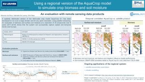
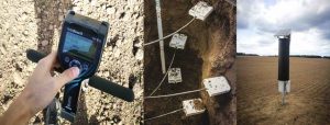
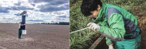
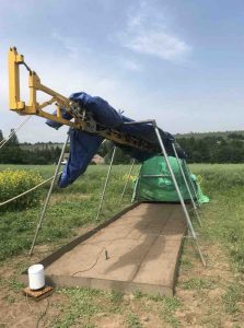
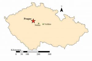
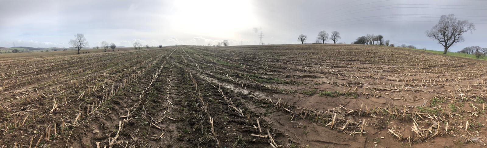
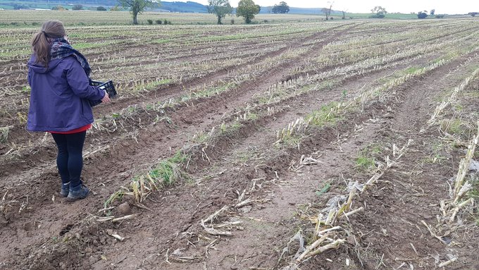
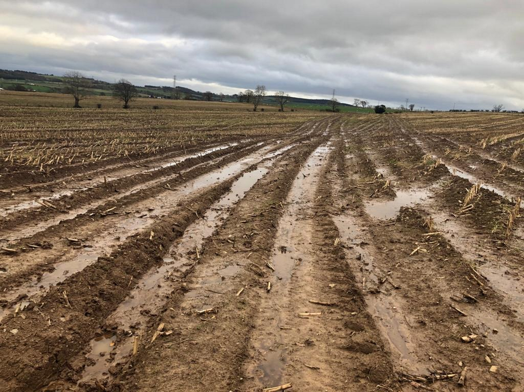
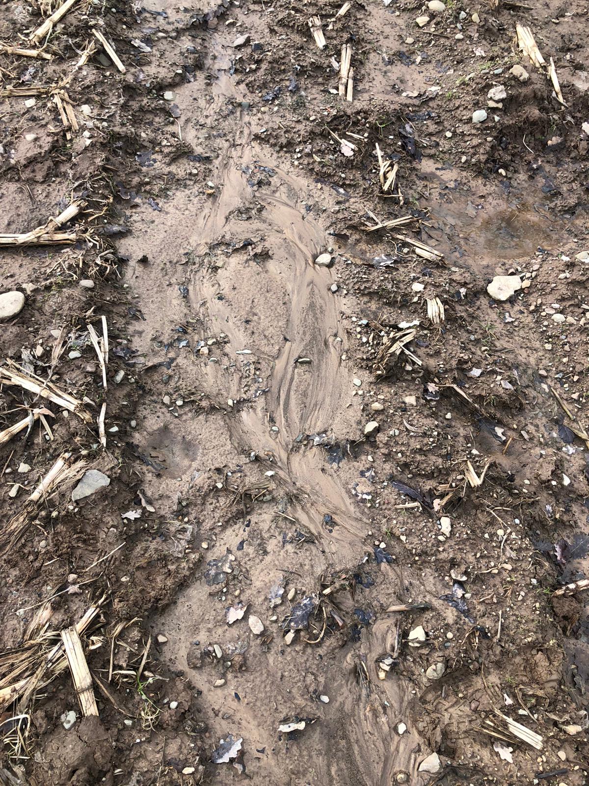
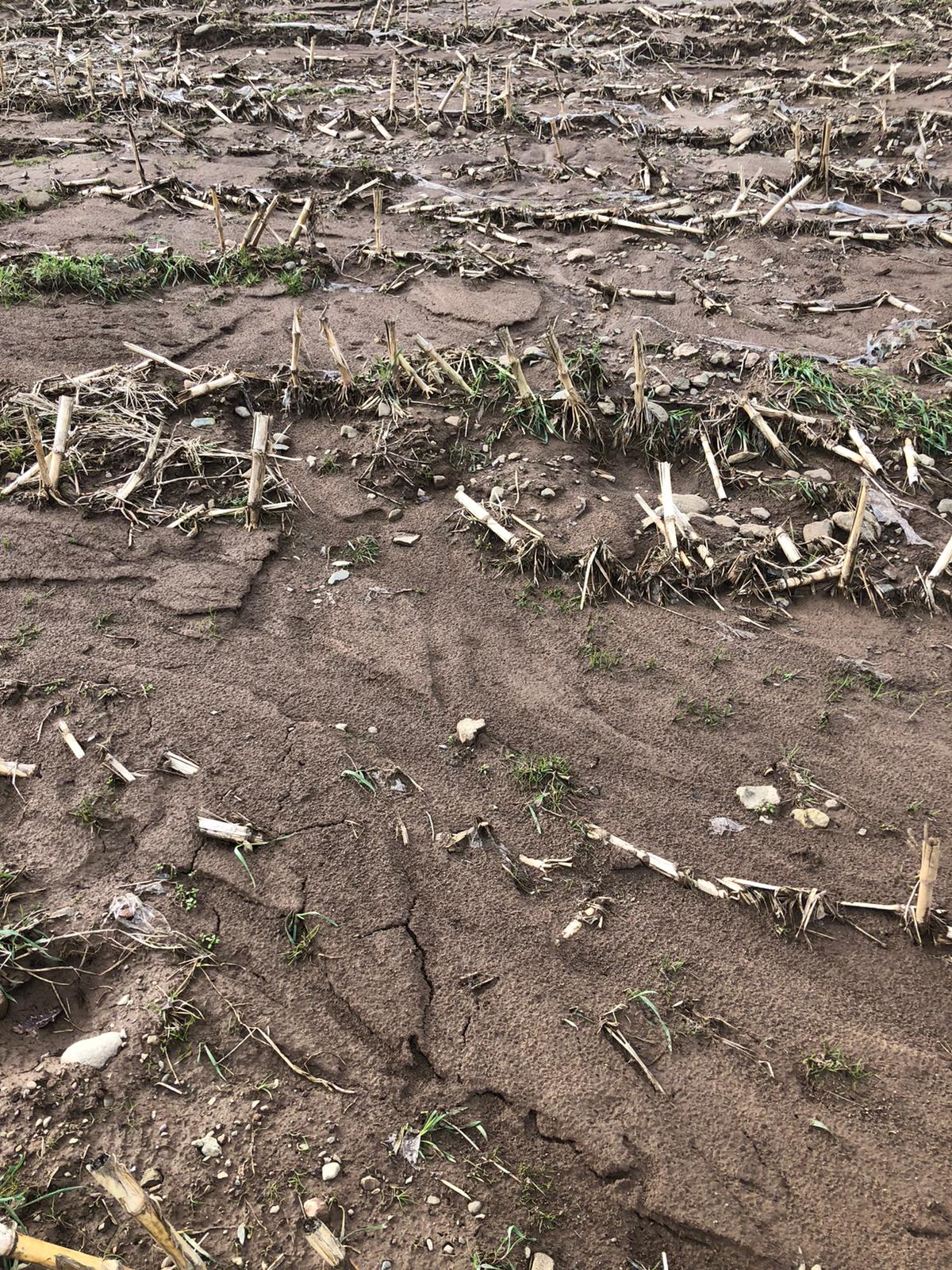
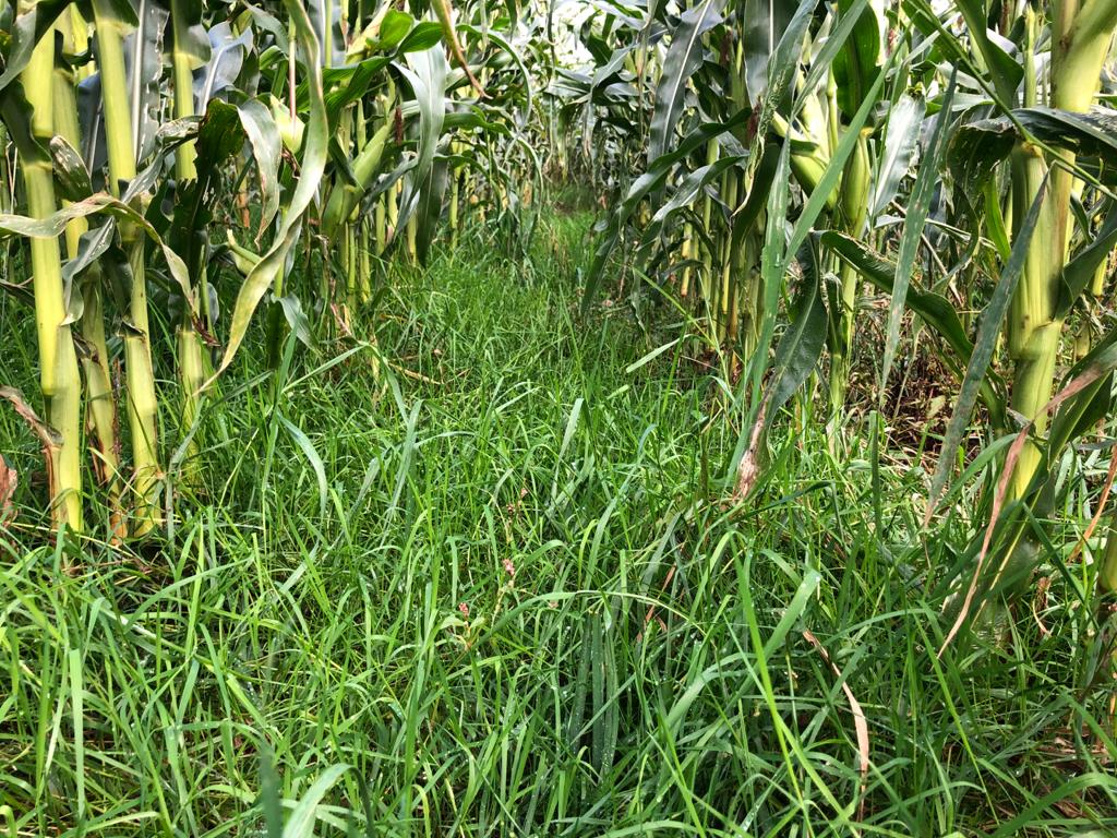
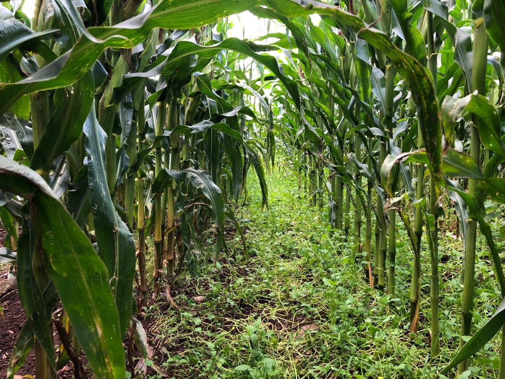
I am currently responsible for a case-study within Shui-WP2, that is supervised by Prof. Elías Fereres and Dr. José Alfonso Gómez (also co-promoted by Dr. Margarita García-Vila). Our case-study integrates spatial water modelling with crop simulation (i.e., AquaCrop model) in order to assess spatial variations of YG’s and to explore precision agriculture strategies to deal with YG’s variations in space and time. Within this task, we are actively collaborating with the local company ‘Cortijo La Reina’, other individual farmers in the Guadalquivir Valley, Spain, and the Technical University of Prague, who is supporting us with the hydrological modelling. At present date, 1000 ha of historical yield maps and related management data have been assessed, in combination with field experimentation, conducted in two independent local fields, respectively of 10 ha (2019/20) and 8 ha (2020/21).

Local yields show coefficients of variation of 16-20% (within field) which are, among other factors, partially explained by water spatial variations. Within this context, we are exploring the adoption of variable rate technologies in N-P-K applications to close YG’s in different (water-availability) zones (within field). Multiple economic trade-offs exist in our conditions, varying from field to farm scales, but we believe that most of our research outcomes will support better decision making within the context of (rainfed) precision agriculture.

Further reading

– Tenreiro, T. R., García-Vila, M., Gómez, J. A., Jiménez-Berni, J. A., & Fereres, E. (2021). Using NDVI for the assessment of canopy cover in agricultural crops within modelling research. Computers and Electronics in Agriculture, 182, 106038.

– Tenreiro, T. R., García-Vila, M., Gómez, J. A., Jimenez-Berni, J. A., & Fereres, E. (2020). Water modelling approaches and opportunities to simulate spatial water variations at crop field level. Agricultural Water Management, 240, 106254

– Tenreiro, T. R., García-Vila, M., Gómez, J. A., & Fereres, E. (2020). From point to field scale – uncertainties associated with the upscaling of modelling for spatial heterogeneity assessment. In European Society of Agronomy 2020 Congress Book of Abstracts (p. 36). DOI 10.13140/RG.2.2.11611.80161

– Tenreiro, T. R., García-Vila, M., Gómez, J. A., & Fereres, E. (2020). Uncertainties associated with the delineation of management zones in precision agriculture. In EGU General Assembly Conference Abstracts (p. 5709).

– Tenreiro, T. R. & Fereres, E. (2019). Modelling Seminar on AquaCrop at Fuzhou – Fujian Agriculture University [digital.csic.es].

On April the 7th, SHui partners at IAS-CSIC participated in the MAPA conference on “Exchange of experiences between Operational Groups and Projects focus on soils. MAPA is Ministry of Agriculture, Fisheries and Food from Spain.

During the webinar, SHui offered collaboration opportunities with Operational Groups and showed its current experience with one of them.

A. Tallou 1, F. Aziz 2,A. J. Garcia 3, F. P. Salcedo 3, F. E. El Minaoui 1 & S. Amir 1

1 Polydisciplinary Laboratory of Research and development, Faculty of Sciences and Techniques, Sultan Moulay Slimane University of Beni Mellal, Beni Mellal, Morocco

2 Laboratory of Water, Biodiversity & Climate Change, Semlalia Faculty of Sciences, University Cadi Ayyad, B.P. 2390, 40000, Marrakech, Morocco

3 Department of Irrigation, CEBAS-CSIC, Campus Universitario de Espinardo, 30100, Murcia, Spain


International Journal of Environmental Science and Technology (2021)

Abstract

Tomatoes (Solanum lycopersicum) plant were provided with bio-fertilizers issued from anaerobic digestion of olive mill wastewater without and with 1%, 5% of phosphate residues in mesophilic conditions for 25 days. 1% of raw substrates (OMW raw; OMW + 1%PR raw; olive mill wastewater + 5%phosphate residues raw; and phosphate residues) and digestates (olive mill wastewater digestate, olive mill wastewater + 1%phosphate residues digestate and olive mill wastewater + 5%phosphate residues digestate) was provided fortnightly to the plants. Reclaimed water from a wastewater treatment plant located in the study site was used for automatically controlled irrigation. It contained a low level of chemical fertilizers to compare tomato plant growth, leaf analysis, steam water potential, production yield and fruit quality results to plants fed with bio-fertilizers. Generally, parameters and results were progressively increased during the growing and harvesting stage, which refer to the essential elements that cover the plant’s needs. Plants fed with bio-fertilizers showed the most extended plant height (olive mill wastewater + 5% phosphate residues raw), and the best accumulation of essential elements in leaves (olive mill wastewater + 1% phosphate residues digestate and olive mill wastewater + 5%phosphate residues digestate). The maximum average fruit weight per treatment (35.5 g) was obtained when applying the digestates mixture of olive mill wastewater raw and olive mill wastewater + 5% phosphate residues. The maximum yield production per plant was obtained when applying phosphates residues. Bio-fertilizers (digestates) showed good performances, high fruit quality and perfect tomato yield production compared to the control plants. Results obtained during this study are considered promising regarding environmental framework. However, this study was done in a laboratory scale and needs to be applied in a large scale to provide more data on the effectiveness of the digestates application. It is also recommended to apply these bio-fertilizers on different crops and various soils for a better evaluation.

Since the pandemic started and due to the travel restrictions, the SHui consortium, Project Board (PB) Meetings are taking place telematically every 4 months. On the 23rd February 2021, a new one was organized by IAS-CSIC with a total of 30 people attending. The main objectives of this PB meeting were:

  1. to show project progress since the last one in October, and for WPs to delineate
  2. the activities to perform, AND
  3. results to deliver during 2021.

Each WP leader and their teams shared their advances during the previous months and updated plans for the immediate future. This means that during the upcoming months, communication dissemination activities will be strengthened to increase the reach and impact of future publications and APPs. Finally, the planning for the final Conference in China at the end of 2021 started. However, details will need to be defined during March/April 2021.

Cristina McBride-Serrano, SHui Research Technician at Lancaster University.

Forage maize production is rapidly expanding in the UK to provide animal feed and biofuel. In North-West England (Cumbria), planting such row crops is extremely damaging to soils. Bare soil between rows, wet conditions and late harvests using heavy machinery provide a “perfect storm” that compacts and erodes soil. Winters here are predicted to become even wetter with more frequent rainfall events. Therefore, improved soil and water management is needed to hold the soil in place to avoid environmental damage off-farm.

As a research technician at Lancaster University, last growing season we assessed whether undersowing cover crop mixtures in maize would affect soil water retention and movement. We hoped that cover crops might protect the soils from erosion during the winter months. Last October, when the crop was harvested, was the wettest since 2014. The contractors had to wait over two weeks for the soils to be dry enough to avoid getting their heavy machinery stuck.

I was unprepared for the spectacle post-harvest, as the entire field looked like it had been used as a motorway. Since our trial area was the driest patch of the field, it was used as an access point during harvesting and was particularly badly damaged. There were hardly any cover crops to be seen. A month later, the field started showing signs of waterlogging due to the compaction caused by the traffic. By Christmas, the conditions had rapidly deteriorated, with runoff stripping the topsoil, transporting sediment to the end of the field and down the road. The winter months have left clear signs of erosion behind.

The farmer is aware of the damage and doesn’t want a repeat. We are continuing to work with cover crops together. This year, he is interested in interseeding rye grass in all his maize fields. We hope that earlier (cover) crop establishment will better protect the soil from harvesting operations later this year.

Since working with SHui, and after this experience, I’ve become increasingly interested in working with farmers to reduce soil degradation, manage the excess water, and improve ecosystem services, helping farmers build resilience to a changing climate. With the support of the Perry Foundation and the James Hutton Institute, I will soon start a PhD project to research the potential benefits of increased plant diversity to enhance soil-associated ecosystem services in agroecosystems. I want to support farmers by increasing crop resilience to abiotic stress and minimise environmental degradation of the sort I’ve described here.

SHui has opened my eyes to the challenges of arable cropping in Cumbria, and similar challenges faced by farmers in other countries across our project. I’m greatly looking forward to contributing to solving these challenges through my PhD research, which will continue beyond SHui.